GNTO CRN: 1174K133K1149301
Location
View the location of Vorina Ktismata in Chora, Amorgos and get to know Amorgos island.
Welcome to Amorgos
Get to know Amorgos
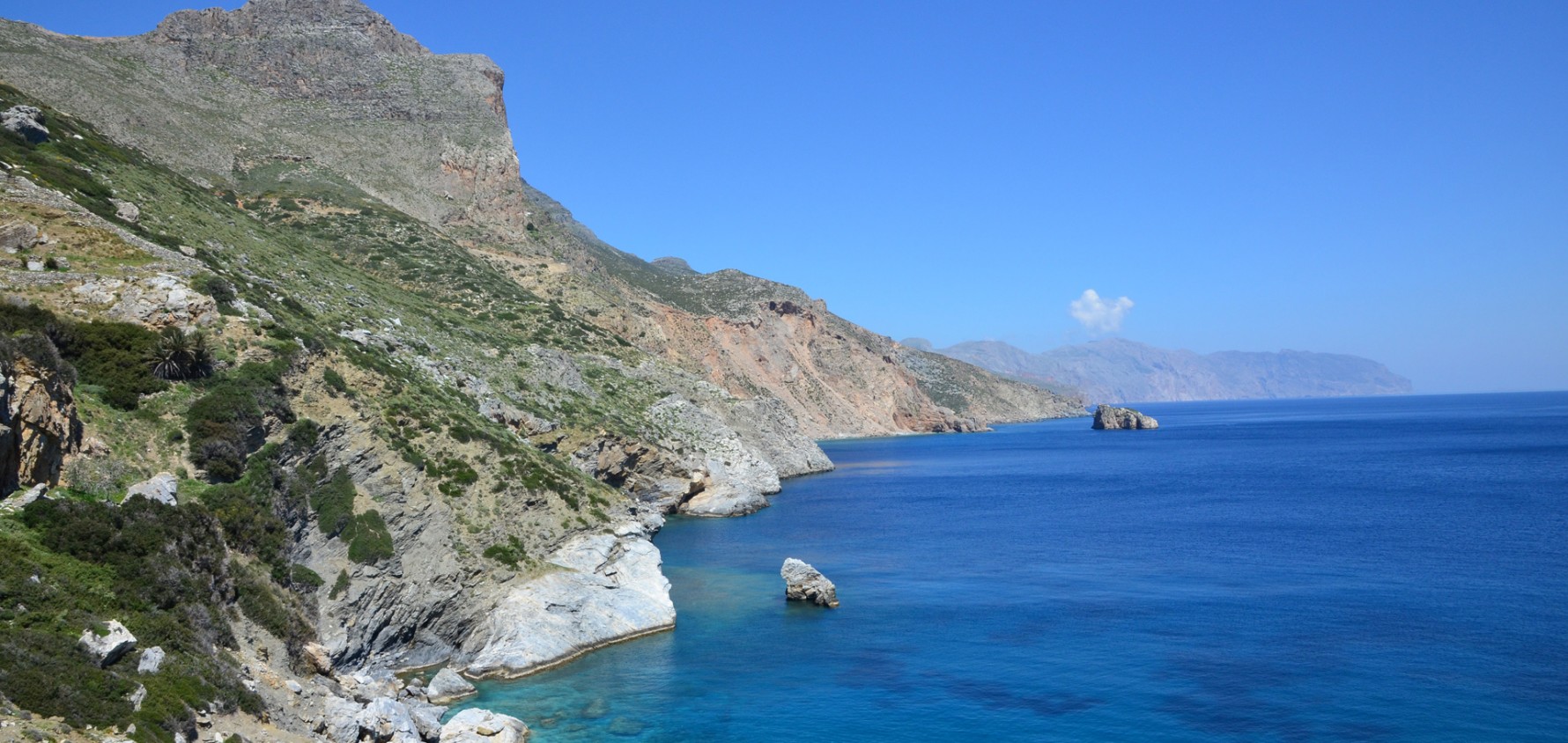
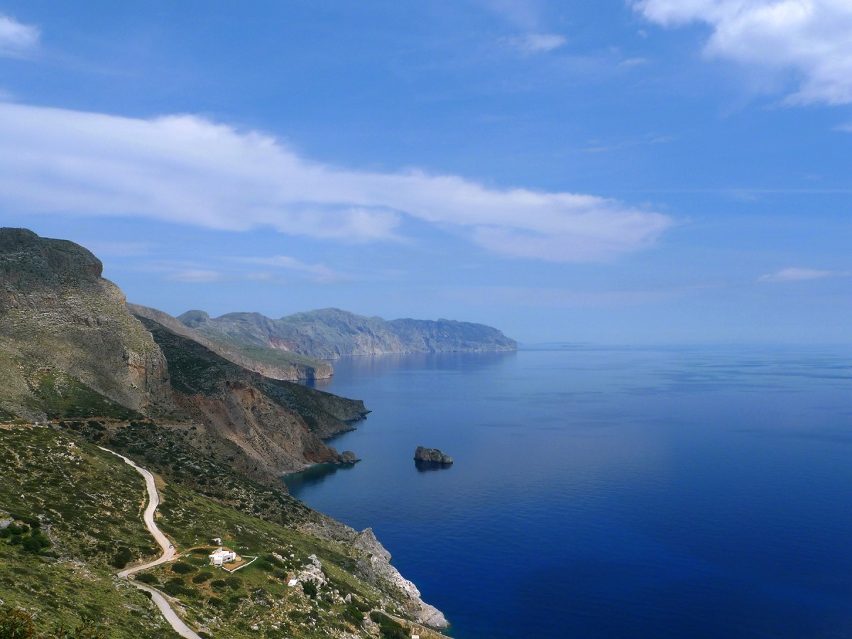
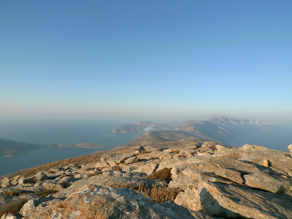
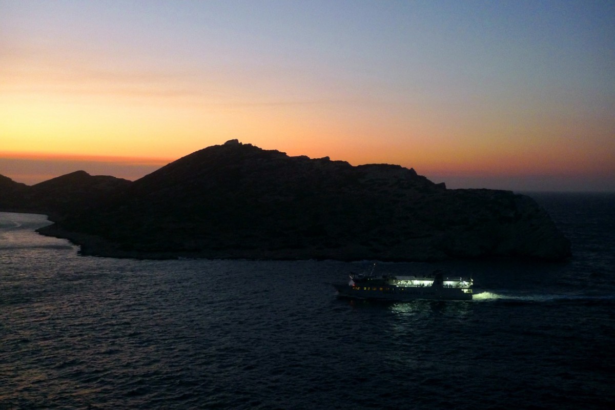
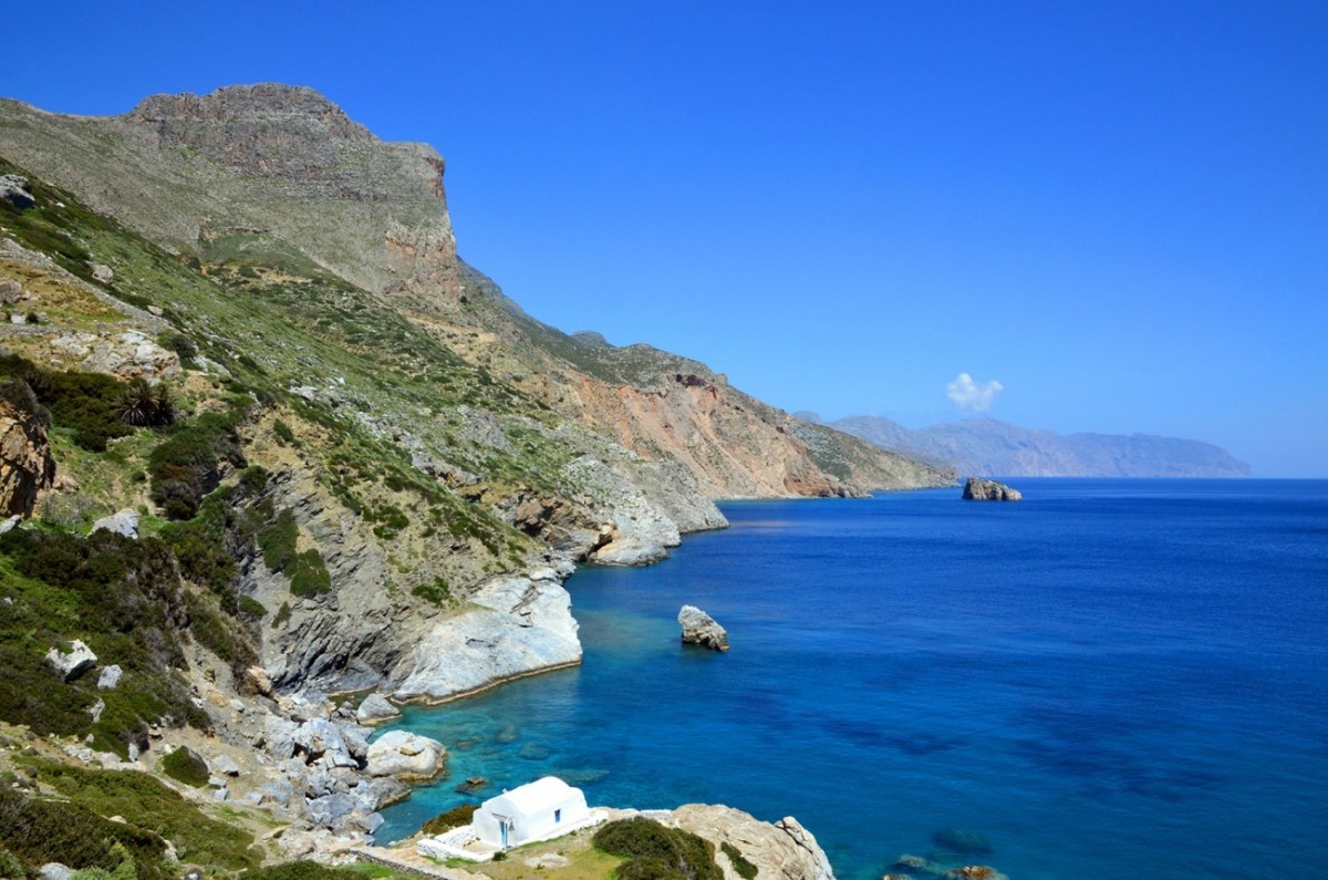
Amorgos is the easternmost island of the Cyclades complex spanning over 121 square kilometres, making it the seventh largest island in the complex. Much of the coastline is extremely rocky and rugged, dropping abruptly into the sea.
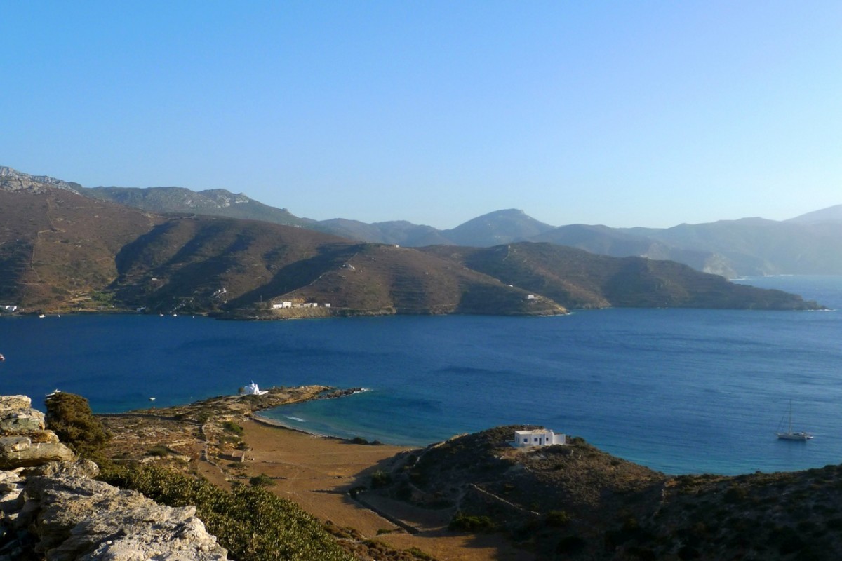
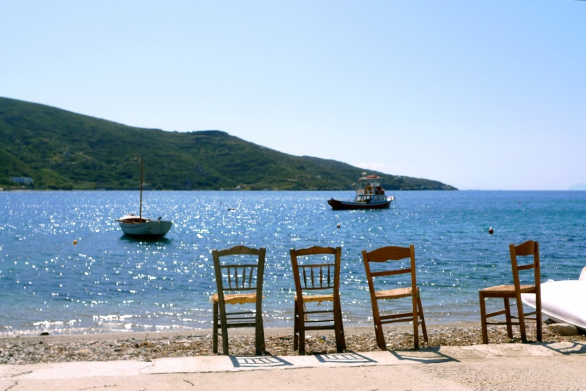
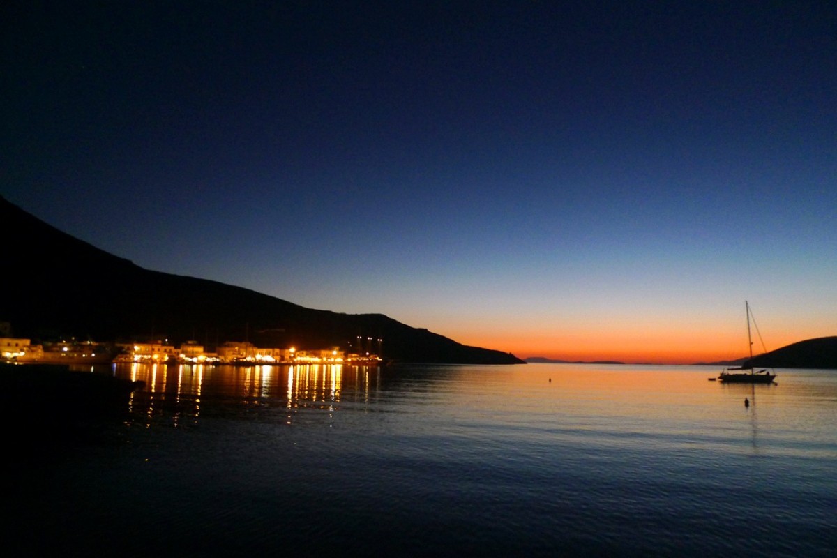
Katapola bay offers a safe sea haven exposed only to westerly winds; apart from the port village of Katapola, there are two more settlements on the bay, Rahidi and Xilokeratidi.
Chora, the island’s capital, built at an altitude of 350 metres, is situated almost at the centre of the island, close to the port of Katapola and on the road linking the villages of Aegiali to the north and Kato Meria to the south. Towering over the village is the Castle, a tall natural rock with a bright white St George’s chapel sitting on top, and the symbol of Chora, which was actually once called Kastro (Castle).
Travelling north, one reaches the bay of Aegiali, surrounded by the villages of Tholaria, Langada and Potamos.
To the south there is Kato Meria (literally means South Side), with numerous scattered small villages like Kamari, Vroutsi, Arkesini and Kolofana.
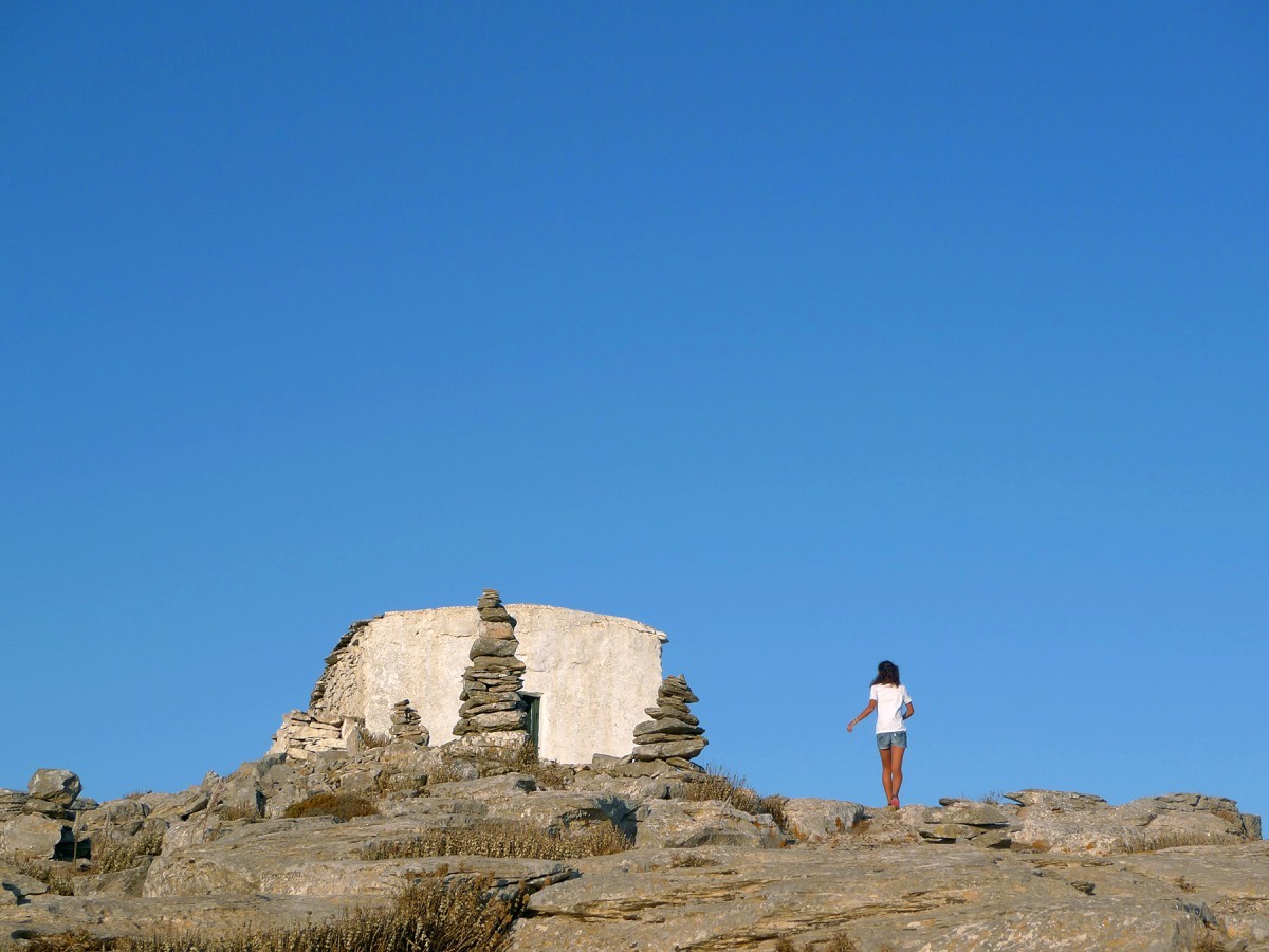
The entire island is littered with chapels celebrating throughout the year.